jeannot kuenzel
Below
Micro
Details
Medium
Textures
Scapes
Wideangle
Above
Beings
Scapes
India
Scenes
Faces
Misc
Nyc
Dolomites
Syracuse
High Above
Drone
Satellites
Sat Panos
About
Contact
Send
Home
High Above
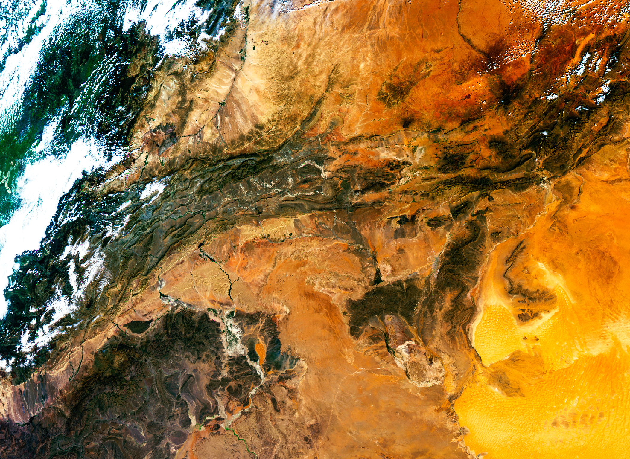
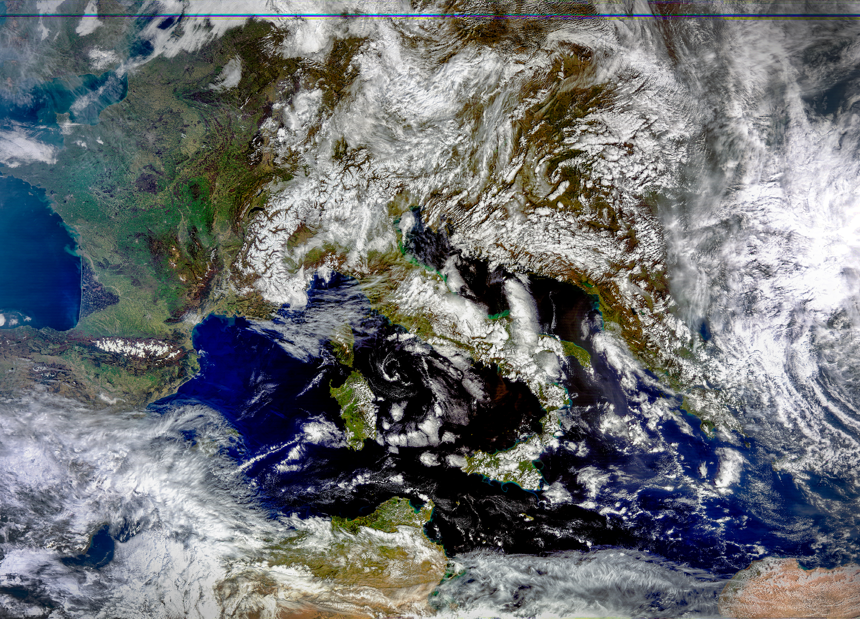
Weather satellite data. Infrared, near-infrared and microwave data received out and live (satellite passing over), processed, decoded and composited into RGB images. L-band and X-band frequencies. Actual images are up to 480MB and 11000 pixels wide.
Drone
28
visualised satellite sensor data
369
full size, uncompressed WXsat images to explore
6